Data-driven Understanding of World Heritage Cities
World Heritage (WH) properties are deeply embedded resources within human settlements, situating heritage studies inescapably within the urban context. Since 2009, most human settlements have shifted from pursuing individual inscriptions on the WH List toward collective efforts, cooperating with other settlements in the preparation of serial nominations and cultural landscapes. This shift has led to an exponential growth in the number of settlements managing WH properties and, with accelerating urban expansion, has introduced mounting challenges to WH management — from integrating heritage considerations into mainstream urban planning systems to withstanding pressures imposed by conflicts and external threats.
The overall aim of this PhD research is to develop a scalable, data-driven framework for understanding World Heritage Cities (WHCs) at the global scale, from the typological patterns of inscribed properties to the heritage potential of cities beyond the WH List. Despite a growing body of case studies on individual cities, research at the global scale remains scarce, and the data infrastructure required for systematic cross-city comparison does not yet exist. Meanwhile, the current heritage recognition system relies heavily on top-down nomination processes, leaving cities with unrecognized heritage potential — particularly in underrepresented regions such as Africa, the Arab States, and the Pacific — invisible to the system entirely.
Data-driven methods offer a bridge between these two imperatives: they are well-suited to capturing human responses to the urban built environment, while also enabling the multi-city analysis that a zoomed-out perspective demands. Among the inputs available, visual data is particularly relevant, since vision accounts for approximately 70% of environmental perception and mediates how people experience and evaluate urban space. This PhD research focuses on these visual qualities of the urban built environment as a bottom-up, experience-based lens on heritage significance.
(1) Equipping the toolkit
Reviewing data-driven methods and datasets applied in multi-city studies of human responses to the urban built environment, and assessing their transferability to the global-scale study of WHCs. Despite a growing body of urban data science literature, no systematic review has focused specifically on multi-city methodologies, making it difficult to design research at the scale of hundreds of cities. This work package maps the available methods and evaluates their scalability, directly informing the data and analytical choices in subsequent stages.
(2) Charting the terrain
Updating the typological classification of WHCs based on the city-heritage spatial relationship of Outstanding Universal Value (OUV) distribution. The current typological framework distinguishes four spatial patterns — singular, fragmented, concentrated, and absolute — but the rise of collective inscriptions since 2009 may have introduced new patterns and altered the composition of each category. This work package reconstructs the classification using the most recent WH List and multi-sourced urban spatial datasets, providing both an up-to-date global map of WHCs and the reference coordinate system for heritage potential analysis.
(3) Building the observatory
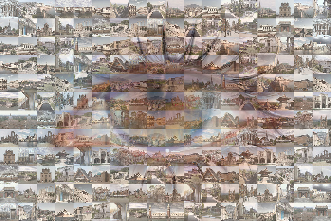
Constructing a modular dataset that can be directly used for cross-city visual analysis of WHCs world-wide and be extended for other downstream tasks. Existing data platforms share critical limitations: most provide no more than point-level location data, coverage is uneven, and no common structure enables cross-city comparison. This work package delivers a standardized, georeferenced dataset — with multi-granularity street-level imagery and metadata as its confirmed core — while retaining open interfaces for complementary data modalities.
(4) Reading the city
Revealing heritage potential beyond the WH List through visual similarity analysis, at two levels of official recognition: tentative and unrecognized. For cities that have already entered the nomination pathway through UNESCO's Tentative List, visual similarity to inscribed WHCs provides independent evidence against which self-declared heritage claims can be evaluated. For cities in underrepresented regions with no official recognition, the same visual logic is applied to discover heritage potential that the formal nomination process has not yet captured. Together, these two sub-tasks constitute a progressive outward movement from the boundary of the WH List.
Contact

Tianye Ren
PhD Candidate
T.Ren@tudelft.nl